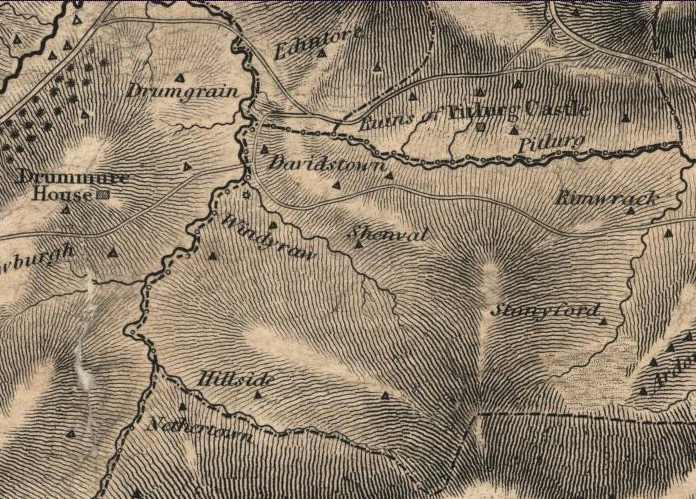
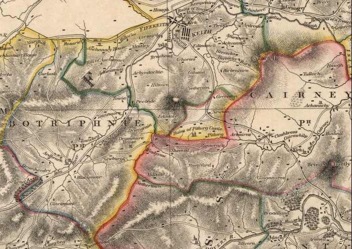
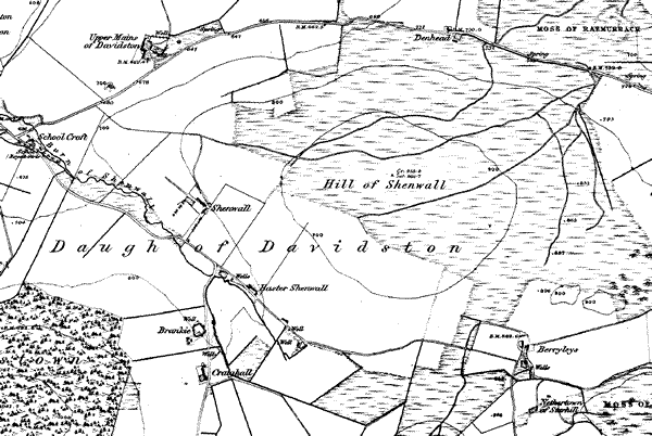
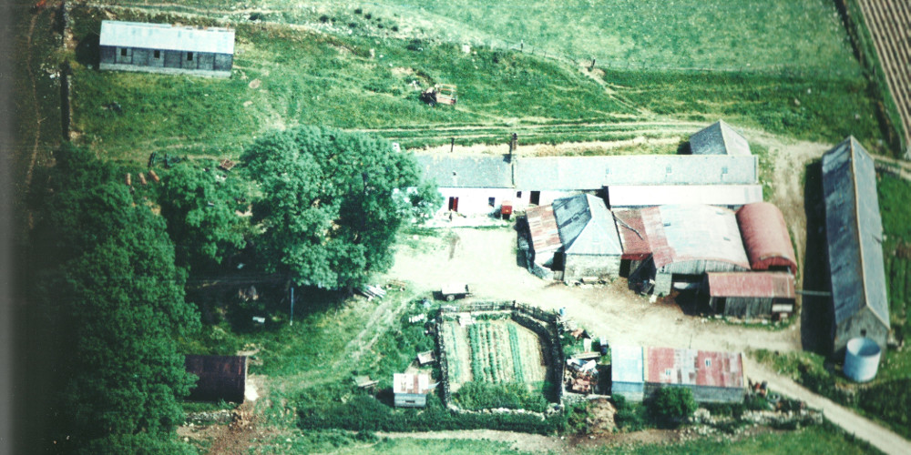
The farmhouse has been on this site since before 1800 as the maps below show. In 1967 it was still a working farm as can be seen from the following aerial photo.
![](https://shenwall.com/wp-content/uploads/2019/09/farm_1967.jpg)
![](https://shenwall.com/wp-content/uploads/2022/05/Aerial-comparison-1024x446.jpg)
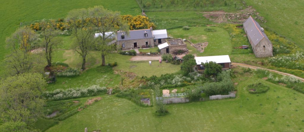
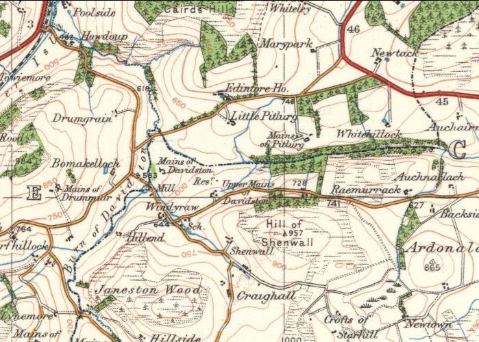
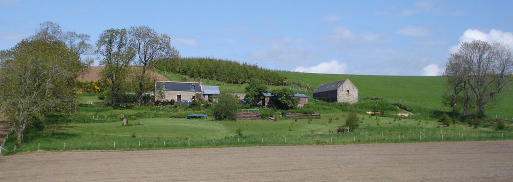
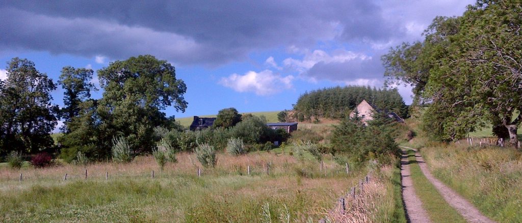
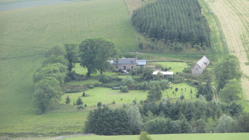
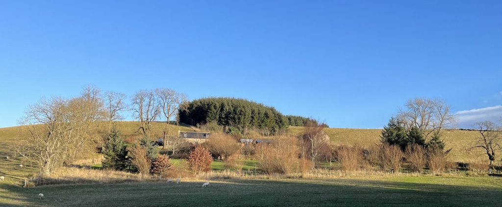
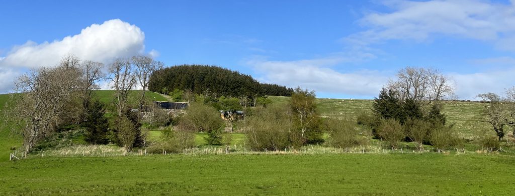
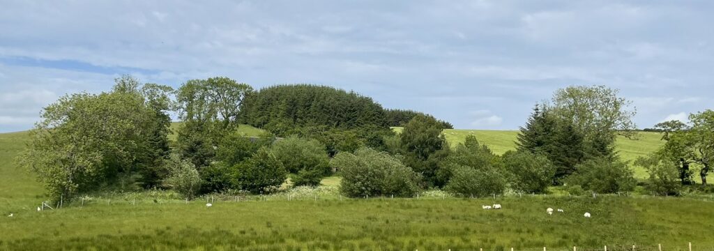
Changes over last 20 year
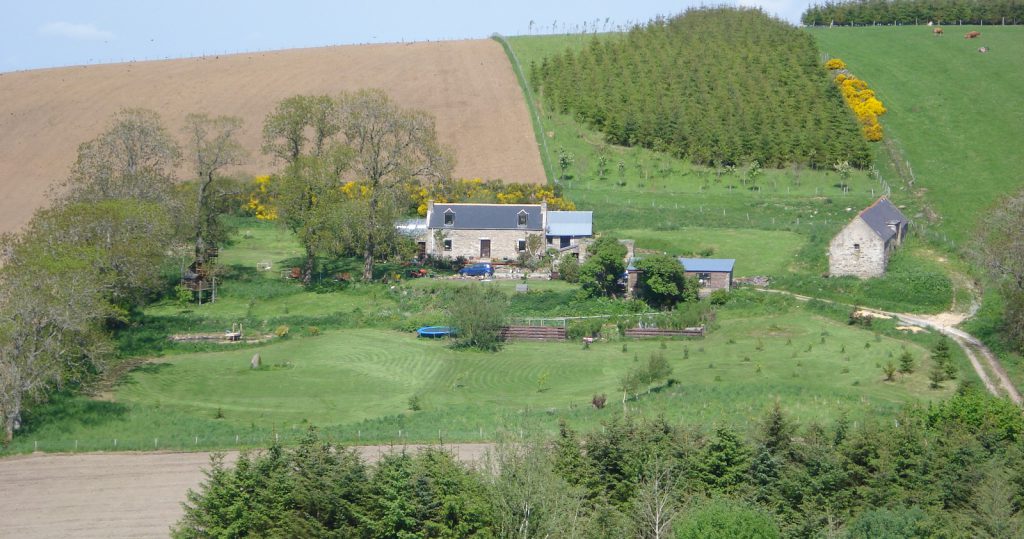
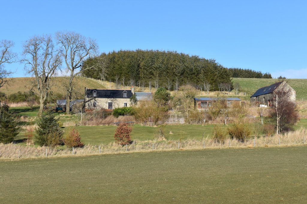
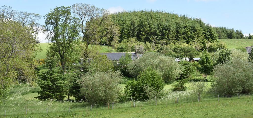
![](https://shenwall.com/wp-content/uploads/2022/05/from-road-2000.jpg)
![](https://shenwall.com/wp-content/uploads/2022/05/from-hill-2008May-1024x539.jpg)
![](https://shenwall.com/wp-content/uploads/2022/05/from-road-2008Jun-1024x364.jpg)
![](https://shenwall.com/wp-content/uploads/2022/05/from-road-2013Aug-1024x439.jpg)
![](https://shenwall.com/wp-content/uploads/2022/05/from-hill-2015Jul-1024x576.jpg)
![](https://shenwall.com/wp-content/uploads/2022/05/from-road-2017Mar-1024x682.jpg)
![](https://shenwall.com/wp-content/uploads/2022/05/from-road-Jun2021-1024x481.jpg)
![](https://shenwall.com/wp-content/uploads/2022/05/from-road-Dec2021-1024x424.jpg)
![](https://shenwall.com/wp-content/uploads/2022/05/from-road-May2022-1024x391.jpg)
See old maps page for more detailed view of old maps of the area
![](https://shenwall.com/wp-content/uploads/2019/09/map_1822.jpg)
![](https://shenwall.com/wp-content/uploads/2019/09/map_1832_l.jpg)
![](https://shenwall.com/wp-content/uploads/2019/09/map_1874.gif)
![](https://shenwall.com/wp-content/uploads/2019/09/map_1926.jpg)